


uScaleit+ app for iPhone and iPad
Developer: Citygraphs
First release : 29 Oct 2010
App size: 5.84 Mb
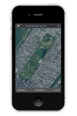
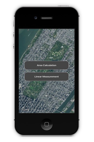
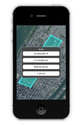
uScaleit+ is an easy to use tool that produces distance and area estimates from the aerial images generated by Apple Maps. The application displays results in a variety of English and metric units. To generate a calculation touch the home button for your location or dictate a landmark, address or zip code in the search strip and zoom in on the image that is presented. Next select the area or linear measurement option, touch the points required for your calculation and touch done. A stylus is recommended for more accurate placement of points. If additional calculations are required, you can clear the screen by shaking the device.
uSclaeit+ can help individuals and professionals with distance and area calculations while they are on site. Walkers and bikers can estimate distances for their routes, landscape architects and civil engineers can produce area calculations for sites. Building contractors can estimate roof and paving areas for their projects. Maintenance managers can define areas where work needs to be done by using the area or measurement feature and distribute an image of their instructions to others from within the application. The iPhone, Apple Maps and uScaleit+ now gives you the power to estimate areas and distances in the palm of your hand - anywhere in the world.